Back to Explore Hikes
Ben Nevis Mountain Track
Fort William / Glen Nevis, Scotland, United Kingdom
Hard · 16 km · About 8 hours · 1340 m elevation
Out and back
Save HikeComing Soon
Distance
16 km
Difficulty
Hard
Estimated Time
About 8 hours
Elevation
1340 m gain
Route Type
Out and back
Location
Fort William / Glen Nevis, Scotland, United Kingdom
About This Hike
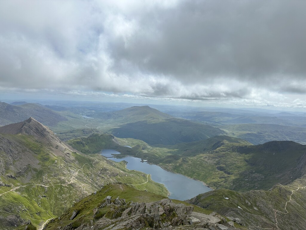
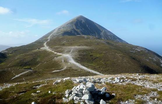
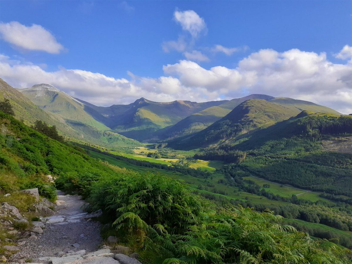
The Mountain Track (often called the Tourist Route) is the main walking route up Ben Nevis, the UK's highest mountain, from Glen Nevis. It is a demanding mountain walk: the upper slopes are rocky, visibility on the summit plateau can be poor, and dangerous gullies lie close to the plateau edge. Not to be confused with the Carn Mor Dearg Arête.
Trail Gallery
What to Expect
- Terrain
- Mountain
- Difficulty
- Hard
- Typical duration
- About 8 hours
- Route character
- Out and back
- Elevation
- 1340 m gain
What to Bring
Check the weather and route conditions before setting out and prepare appropriately for your adventure.
Before You Go
- Check current weather
- Check route conditions
- Make sure the route matches your ability
- Carry suitable water and equipment
- Let someone know your plans when appropriate
General guidance — AllHikes does not provide live weather or verified trail conditions.
Where You'll Hike
- Country
- United Kingdom
- Region
- Scotland
- Area
- Fort William / Glen Nevis
- Starting location
- Ben Nevis Visitor Centre, Glen Nevis
Plan the whole adventure
Plan This Adventure
Build your complete adventure around this hike — including places to stay, food, transport, preparation and more.
Complete the Adventure
Your hike is only part of the journey. Discover places to stay, eat, travel and explore around your adventure.
Hike With a Club
Discover clubs exploring adventures like this one.
Your AllHikes Passport
Complete adventures and build your hiking history over time.